
Contributor
Maine Geological Survey
Date
1-1-1989
Description
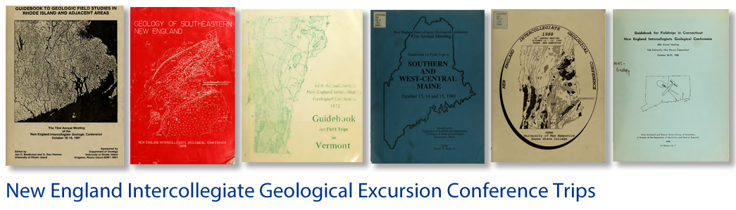
Guidebook for field trips in southern and west-central Maine, October 13, 14 and 15, 1989: New England Intercollegiate Geological Conference 81st annual meeting: Trip C-4
Place
Maine; Sandy Bay Quadrangle; Seboomook Lake Quadrangle; Penobscot Lake Quadrangle; ; Greenville; Rockwood
Bounding Box Coordinates
Max Latitude: -70.03, Min Latitude: -69.84, Min Longitude: 45.98, Max Longitude: 45.83
Language
eng
Medium
Guide books
Extent
Pages 212-237
Type
Text
File Format
application/pdf
Recommended Citation
Marvinney, Robert G., "Bedrock Geology of the Southeastern Margin of the Connecticut Valley - Gaspe Synclinorium in Somerset County, ME" (1989). Trips. 462.
https://scholars.unh.edu/neigc_trips/462
COinS