
Contributor
Maine Geological Survey, U.S. Geological Survey, Bates College, University of Dayton
Date
1-1-1989
Description
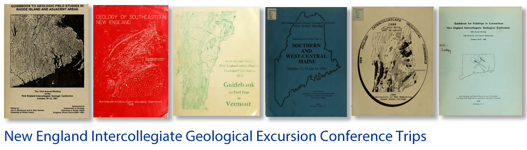
Guidebook for field trips in southern and west-central Maine, October 13, 14 and 15, 1989: New England Intercollegiate Geological Conference 81st annual meeting: Trip A-2
Place
Maine; New Hampshire; Massachusetts; New Sharon Quadrangle; Haverhill Quadrangle; Eliot Quadrangle; Sanford Quadrangle; Auburn Quadrangle; Lewiston Quadrangle; Readfield Quadrangle; ; New Sharon; Augusta; Brunswick; Portland; Kennebunkport; Farmington; Portsmouth; Ringe; Quebec
Bounding Box Coordinates
Max Latitude: -71.12, Min Latitude: -69.91, Min Longitude: 44.7, Max Longitude: 42.75
Language
eng
Medium
Guide books
Extent
Pages 25-85
Type
Text
File Format
application/pdf
Recommended Citation
Weddle, Thomas K.; Stone, Bryon D.; Thompson, Woodrow B.; Retelle, Michael J.; Caldwell, Dibney W.; and Clinch, J. Michael, "Illinoian and Late Wisconsin Tills in Eastern New England: a Transect from Northeastern Massachusetts to West-Central Maine" (1989). Trips. 453.
https://scholars.unh.edu/neigc_trips/453