
Contributor
Bryn Mawr College, Johns Hopkins University
Date
1-1-1972
Description
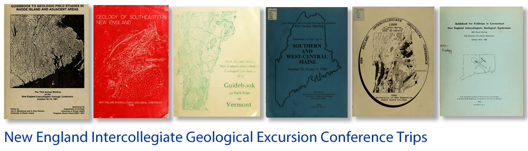
Guidebook for field trips in Vermont: 64th annual meeting October 13, 14, 15, 1972 Burlington, Vermont: Trip G-3
Place
Vermont; Milton Quadrangle; St. Albans Quadrangle; Enosburg Falls Quadrangle; Jay Peak Quadrangle; Irasburg Quadrangle; Mt. Mansfield Quadrangle; Georiga Plain Quadrangle; St. Albans Bay Quadrangle; Highgate Center Quadrangle; ; Northwest Vermont
Bounding Box Coordinates
Max Latitude: -73.25, Min Latitude: -73.15, Min Longitude: 44.52, Max Longitude: 44.64
Language
eng
Medium
Guide books
Extent
Pages 359-376
Type
Text
File Format
application/pdf
Recommended Citation
Parrott, William R. and Byron D. Stone, "Strandline Features and Late Pleistocene Chronology of Northwest Vermont" (1972). Trips. 178.
https://scholars.unh.edu/neigc_trips/178