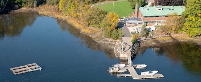
Jackson Estuarine Laboratory
Elevation change and the vulnerability of Rhode Island (USA) salt marshes to sea-level rise
Abstract
Salt marshes persist within the intertidal zone when marsh elevation gains are commensurate with rates of sea-level rise (SLR). Monitoring changes in marsh elevation in concert with tidal water levels is therefore an effective way to determine if salt marshes are keeping pace with SLR over time. Surface elevation tables (SETs) are a common method for collecting precise data on marsh elevation change. Southern New England is a hot spot for SLR, but few SET elevation change datasets are available for the region. Our study synthesizes elevation change data collected from 1999 to 2015 from a network of SET stations throughout Rhode Island (RI). These data are compared to accretion and water level data from the same time period to estimate shallow subsidence and determine whether marshes are tracking SLR. Salt marsh elevation increased at a mean overall rate of 1.40 mm year−1 and ranged from −0.33 to 3.36 mm year−1 at individual stations. Shallow subsidence dampened elevation gain in mid-Narragansett Bay marshes, but in other areas of coastal RI, subsurface processes may augment surface accretion. In all cases, marsh elevation gain was exceeded by the 5.26 mm year−1 rate of increase in sea levels during the study period. Our study provides the first SET elevation change data from RI and shows that most RI marshes are not keeping pace with short- or long-term rates of SLR. It also lends support to previous research that implicates SLR as a primary driver of recent changes to southern New England salt marshes.
Publication Date
7-18-2016
Journal Title
Regional Environmental Change
Publisher
Springer
Digital Object Identifier (DOI)
Document Type
Article
Recommended Citation
Raposa, K.B., Cole Ekberg, M.L., Burdick, D.M. et al. Elevation change and the vulnerability of Rhode Island (USA) salt marshes to sea-level rise. Reg Environ Change 17, 389–397 (2017).
