
Preview

Description
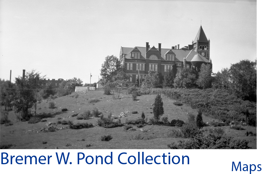
A "planting detail" map of the area between Murkland Hall and Main Street on the University of New Hampshire Durham campus, drawn at a scale of one inch equals twenty feet. The map includes a legend in the lower left corner and the lower right corner reads: Bremer W. Pond Landscape Architect Cambridge, Massachusetts Studied by B.W.P., Drawn by W.L.C. Approved by Bremer W. Pond 12/17/36 Job No. 143, Plan No. 175.
Date Created
1936-12-17
Place
University of New Hampshire; Durham (N.H.)
Subject
Maps; Landscape gardening; Tree planting; Landscape Architecture; University of New Hampshire; Universities and Colleges; College Campuses; New Hampshire--Durham
Language
eng
Access Rights
These materials may be used for the purposes of research, teaching, and private study. For all other uses, contact Milne Special Collections and Archives, University of New Hampshire Library for permission.
Rights Holder
University of New Hampshire
Medium
maps
Source
The original document is housed in the Milne Special Collections and Archives at the University of New Hampshire.
Type
Image
File Format
image/jpeg
Scanning Information
University of New Hampshire. Library.