
Preview
Date
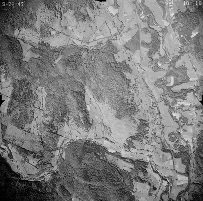
9-26-1943
Description
This series of aerial photographs was commissioned by the Brown Company from Fairchild Aerial Surveys, Inc. The images were captured in a North-South direction at an altitude of 12,415 ft. with a focal length of 8.25 inches, an overlap of 60% and a sidelap of 20%. The scale is 1:18,000. University of California, Santa Barbara scanned 9 inches x 9 inches photographic prints at 600 ppi using a Umax PowerLook 2100XL flatbed scanner.
Place
Bethel, Vermont, United States; Braintree, Vermont, United States; Randolph, Vermont, United States; Rochester, Vermont, United States
Subject
Bethel, Vermont; Braintree, Vermont; Randolph, Vermont; Rochester, Vermont; Aerial Photographs; ImageryBaseMapsEarthCover
Extent
9 inches x 9 inches
Bounding Box Coordinates
43.91, -72.69
Medium
black-and-white photographs
Source
Fairchild Aerial Surveys. Imagery Report: Flight NY8612. Brown Company, 1943
Type
Stillimage
File Format
image/tiff
Scanning Information
University of New Hampshire. Library; University of California, Santa Barbara